

 (4 ratings)
Google is at long last revealing a Wi-Fi mode for its highly popular Google Maps application. Apart from the new switching, it has also included new notifications for public transportation delays which surely would be helping a lot of users. A popular Android forum has also reported that the new feature is getting released gradually and to make use of this new feature, users need to have Google Maps v9.32 app installed on their Android smartphones.
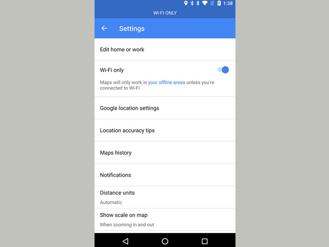
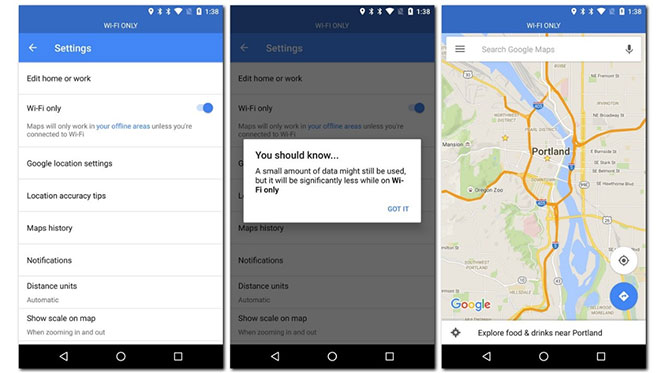
The toggle for the Wi-Fi only mode is accessible only through the Settings screen. Users are advised to check in for the new feature as they might get on the list of lucky ones.

When the user switches on the Toggle switch, a blue bar appears at the top most position on the screen which is an indication from the Google's end for the user that the application is now running in Wi-Fi only mode.
One must recall that the new toggle introduced by the Google was previously known by the term 'Offline Areas' and with the new update, it does exactly what its name suggests. Precisely speaking, it disconnects the Maps application from the cellular or data network. However, Google has clarified in a small pop up that the Maps application may utilize a little amount of mobile data while operating.

Another notable feature added by Google is the addition of push notifications for public transportation delays. This new feature is a boon for several users especially those who frequently use public transport (that includes both trains and buses) across the city for commutation. The new feature will inform the users about possible disruptions via notifications if the service is available in the region.
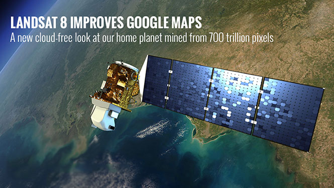
Google recently improvised its image quality on Maps application. The difference may be gradual, but when a mosaic is checked, one can see the difference quite vividly. In its clarification on such huge noticeable difference, Google states that it is because the application uses cloud-free imagery-one that gives a clear picture of the Earth having great precision and truer color combinations. Additionally, the Landsat 8 also captures images twice as fast as Landsat 7, making the mosaic more up-to-date than past reviews.

Also Read: Google Revamps its Maps Application for Android users
Must Visit Our Google+ Community Page For Latest And Updated Technology News.